- 1. Key Takeaways
- 2. KÜHL’s Top 10 Boulder Hikes
- 2.1. 1. Mount Sanitas
- 2.2. 2. Green Mountain
- 2.3. 3. Bear Peak
- 2.4. 4. Marshall Mesa
- 2.5. 5. South Boulder Peak
- 2.6. 6. Sugarloaf Mountain
- 2.7. 7. Joder Ranch
- 2.8. 8. Flatirons Vista
- 2.9. 9. Walker Ranch
- 2.10. 10. Betasso Preserve
- 3. What to Bring on Your Boulder Hikes
- 4. Conclusion
The 10 Best Hikes in Boulder
Table of Contents [Show]
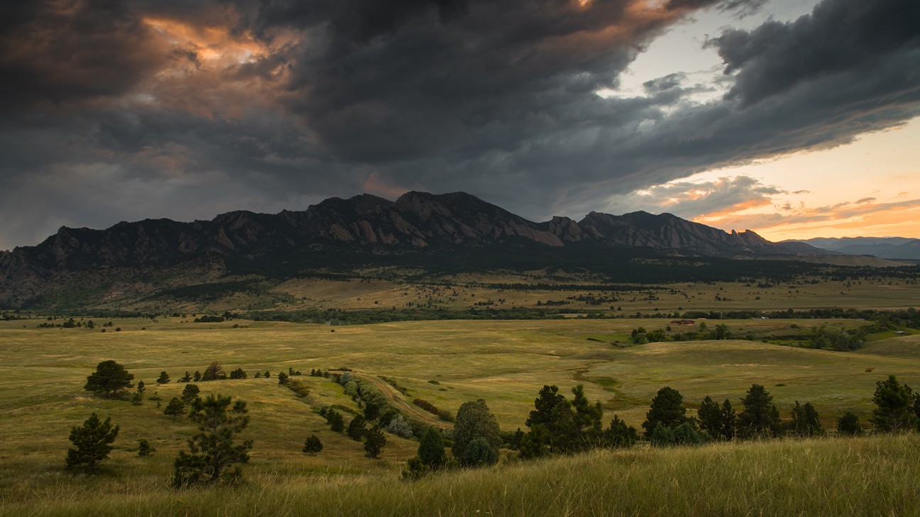
It’s no secret that Boulder, Colorado boasts a wealth of top-notch hiking.
Sitting at the eastern end of the Rockies, the mountains rise up to elevations of more than 8,000 feet—meaning a great workout and beautiful scenery is almost guaranteed. But if you’re looking for a milder hiking experience, the mesas and plains in east Boulder offer mellow terrain rich in history and ancient geology.
If you’re seeking the best hikes in Boulder, here’s a list of the top 10 you don’t want to miss. And once you’ve knocked these off the list,check out our family-friendly day hikes in Boulder! For detailed maps and directions, check out Boulder Open Space and Mountain Parks website.
Key Takeaways
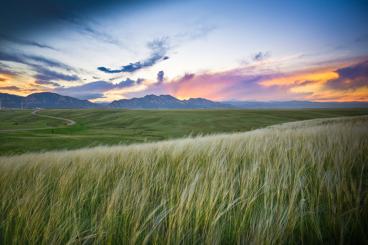
- Discover some of the best places to hike in Boulder, Colorado, including Mount Sanitas, Flatirons Vista, Royal Arch, and Bear Peak, each with its own challenges and all with gorgeous rewards.
- The weather changes quickly! Dressing and packing extra layers will keep you comfortable, especially at such high elevations.
- Essential items to bring include trekking poles for steep sections, plenty of water, sun protection, a first-aid kit, and navigation tools.
- Respect the environment by staying on designated trails, keeping a safe distance from wildlife, and packing out all trash to help preserve Boulder's natural beauty.
KÜHL’s Top 10 Boulder Hikes
1. Mount Sanitas
Distance: 3.2-4.1 miles round trip
Time: 2 - 3 hours
Elevation Gain: 1,343 feet
Difficulty: Moderate
Parking: You’ll find a small parking lot at the trailhead which fills up quickly in the mornings, so it’s a good idea to arrive early. If that lot is full you can find more parking on the street.
Mount Sanitas, at an elevation of 6,843 feet, is Boulder’s most popular mountain, offering a workout with more than 1,300 feet of elevation gain and spacious views of Boulder, the plains, and Denver to the east. The 14,255-foot Longs Peak dominates the mountainous skyline from the summit of Mount Sanitas.
The classic Sanitas loop features steep sections mixed with flat, shady, segments. Take the 1.1-mile Mount Sanitas Trail to the top then descend the 0.7-mile East Ridge Trail, and return via the 1-mile Sanitas Valley Trail. For a more gradual ascent, the shady and smooth 2.9-mile Lion’s Lair Trail is ideal for runners. A note for all the pet parents out there, dogs are allowed on all the Mount Sanitas trails except for Lion’s Lair.
2. Green Mountain
Distance: 5.4 to 6.4 miles round trip, depending on the route
Time: 3.5 - 4 hours
Elevation Gain: 2,300 feet
Difficulty: Moderate
Parking: Parking is available at the Gregory Canyon trailhead. Be cautious of poison ivy, which can be found along the first section of the trail; wearing protective clothing, is highly recommended.
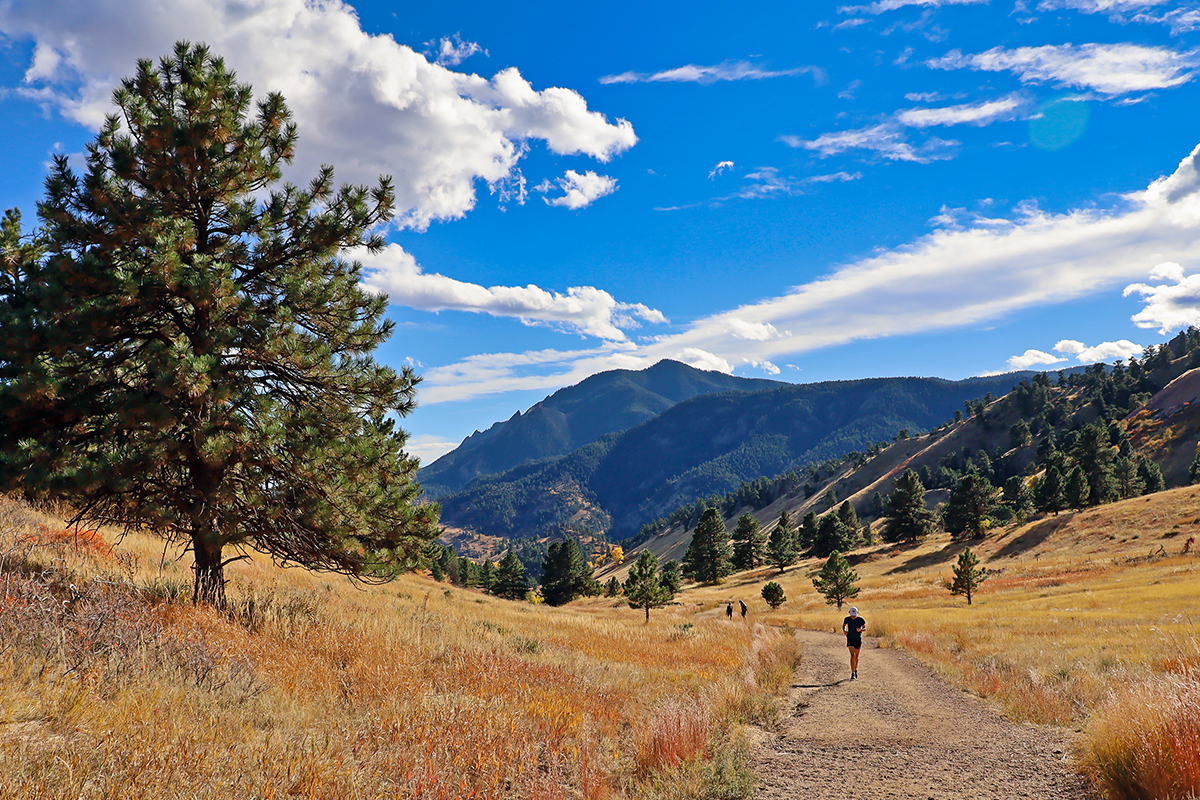
Several routes lead to the top of 8,150-foot Green Mountain, with the standard hike starting at Gregory Canyon and ascending roughly 3.2 miles. The Gregory Canyon Trail to Ranger Trail features remnants of the 2013 Boulder floods and offers a fun, easy rock scramble to the summit. Alternatively, ascend via Chapman Drive and cross Flagstaff Road at Realization Point for a unique route; at the summit, don’t miss the metal disc identifying distant mountains, a Boulder icon.
3. Bear Peak
Distance: 6.2 to 9.6 miles round trip, depending on the route
Time: 4 - 5.5 hours
Elevation Gain: 2,500 to 2,900 feet
Difficulty: Difficult
Parking: Parking for Bear Peak can be found at the South Mesa, NCAR, or Shannon Ridge trailheads. For the Shadow Canyon route, park at the South Mesa trailhead. For Fern Canyon, parking can be found along Leigh St. near the Shanahan Ridge trailhead. NCAR, located at the end of Table Mesa Road, has a spacious parking lot and offers access to the West Ridge route.
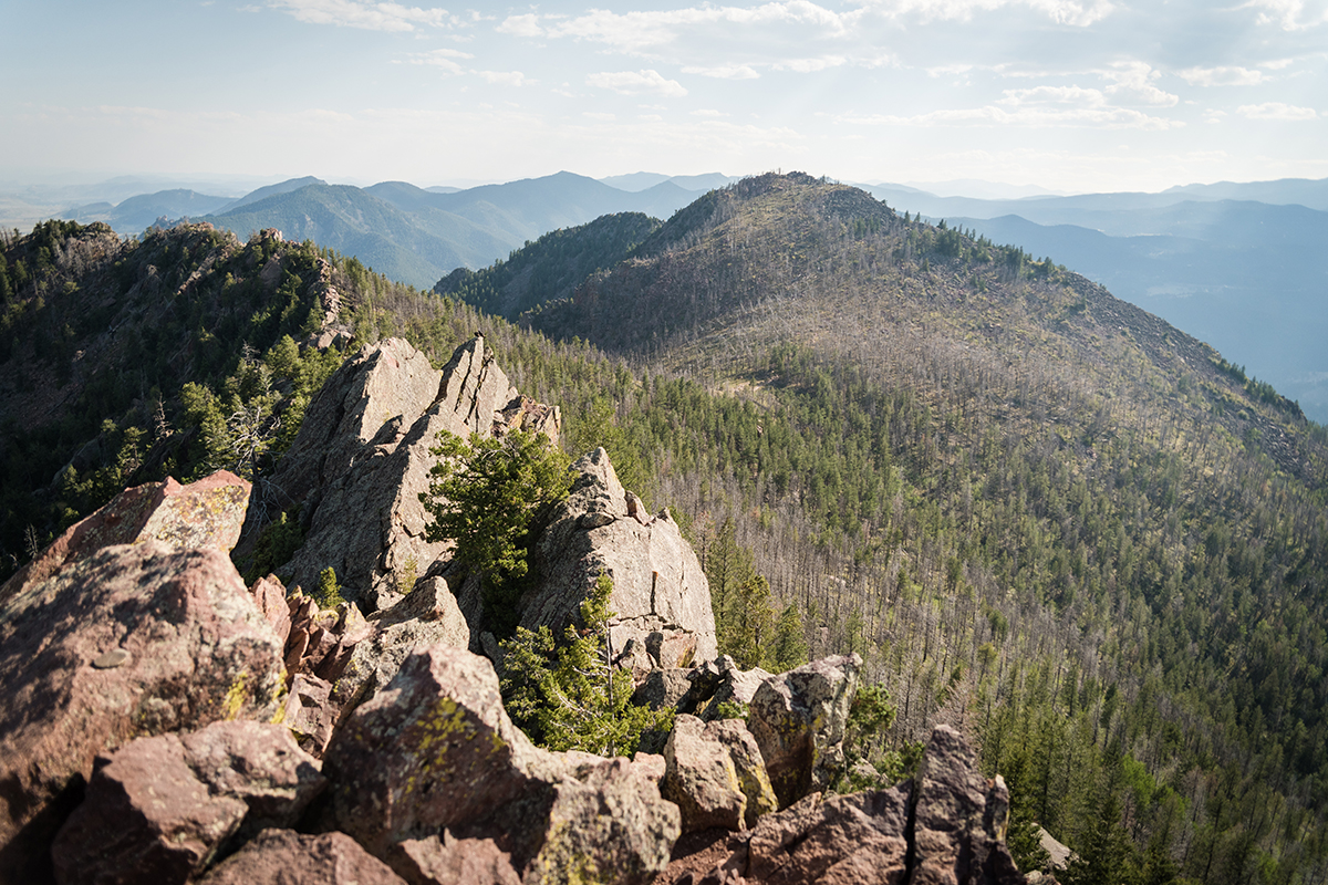
At 8,459 feet, Bear Peak is the second-highest of the "Guardians of the Flatirons" and, with multiple routes to choose from, is considered one of the best hikes near Boulder. It offers unobstructed 360-degree views from its exposed summit. The three standard routes are Fern Canyon, Shadow Canyon, and the West Ridge, all featuring rugged trails with switchbacks, stone stairs, steep segments, and passage through recent burn zones. The summit requires a brief and easy scramble with excellent hand and footholds along iron-rich red rock, offering clear views from Pikes Peak to Longs Peak and the full range of the Indian Peaks.
4. Marshall Mesa
Distance: 3 to 6 miles round trip, depending on chosen trails
Time: 1.5 - 3 hours
Elevation Gain: 300 to 600 feet
Difficulty: Easy to Moderate
Parking: You’ll find parking at the Marshall Mesa trailhead which will cost $5 for a day pass, or if you’ll be in the area much longer you could pay $25 for an annual parking permit.
Marshall Mesa in south Boulder features a network of trails interconnecting from the suburbs to the 8,000-foot peaks to the west, allowing for flexible hiking durations. The mesa offers incredible views of the Flatiron Rock formations, especially from the Greenbelt Plateau Trail highpoint. Besides natural beauty, hikers can see towering windmills and the twinkling lights of Boulder at twilight. Informational plaques share the area’s geological and mining history. This area is great for family treks, trail runs, photography, and casual hikes, though it can get hot in summer due to a lack of shade. A tunnel under Highway 93 on the Community Ditch Trail provides safe passage to western trails and open grazing lands leading to the foothills.
5. South Boulder Peak
Distance: 7.2 miles round trip
Time: 4 - 5 hours
Elevation Gain: 3,000 feet
Difficulty: Difficult
Parking: You’ll be able to find parking at the South Mesa trailhead.
At 8,549 feet, South Boulder Peak is the tallest of the summits above the Flatirons, and yet it’s the least-visited of the three. The standard route takes the Shadow Canyon Trail to the saddle between Bear Peak and South Boulder Peak, where ghostly stands of trees and charred ground remain from recent wildfires. Follow a winding trail through a high forest to the boulder-strewn summit, but note that views to the east will be blocked by pine trees. Many hikers link Bear Peak and South Boulder Peak for a two-fer—or add in Green Mountain for a three-fer, using the Mesa Trail below the Flatirons to loop back to the South Mesa Trailhead, where all the fun began.
6. Sugarloaf Mountain
Distance: 1.3 miles round trip
Time: 1 hour
Elevation Gain: 439 feet
Difficulty: Moderate
Parking: There’s a large parking area located at the convergence of the Sugarloaf Mountain Road and the dirt-road Switzerland Trail.
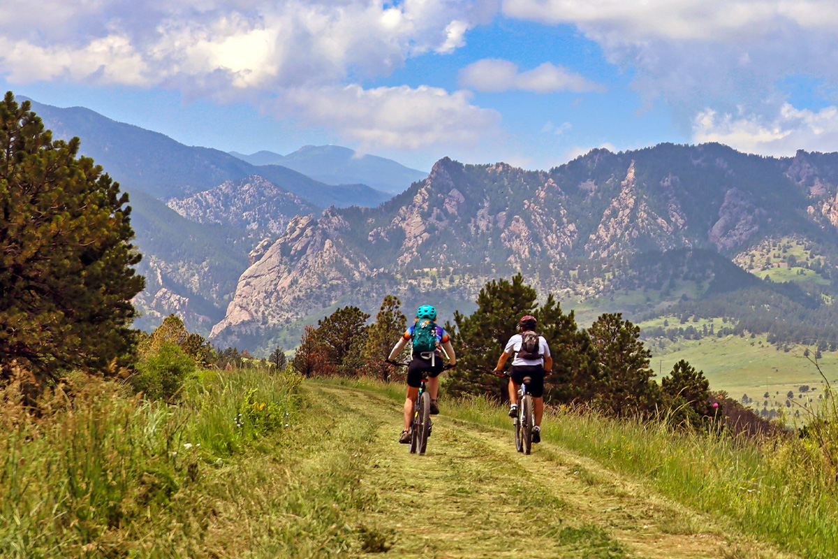
Though it stands at 8,917 feet, Sugarloaf Mountain is easy to miss due to its bare summit blending into the land between Boulder and the Indian Peaks. Located about a 20-minute drive from downtown Boulder, it remains less popular than easier peaks. The large parking area is at the convergence of Sugarloaf Mountain Road and the dirt-road Switzerland Trail. Trails start west of the parking lot, ascending a mile on a rocky but manageable path. The views from the top are among the best in Boulder County, with city views to the east and mountain views to the west. This hike is excellent in winter with snowy landscapes and ideal for sunset hikes in the summer.
7. Joder Ranch
Distance: 4 miles round trip
Time: 2 - 2.5 hours
Elevation Gain: Approximately 800 feet
Difficulty: Moderate
Parking: To get there, access the interim trailhead off Highway 36 that has parking for about a dozen vehicles. Be aware that parking on Olde Stage Road is not allowed.
Joder Ranch is one of Boulder’s newer trail systems, and its eponymous hike is a simple, 4-mile out-and-back that ascends a ridge and descends into a formerly "secret" portion of Boulder Open Space that connects with Olde Stage Road. It’s this second half of the trail that is worth the visit, though the initial views from Joder Ranch will likely provide a vantage of Boulder most have not seen before. The west side of the ridge is a peaceful, shady, pine forest with a few open meadows and plenty of solitude. Wildlife sightings are common, including black bear and deer. Mountain bikes are allowed on the trail, though traffic is fairly light by both two-wheel and foot traffic.
8. Flatirons Vista
Distance: 3.3 miles round trip (varies with loops)
Time: 1.5 - 2 hours
Elevation Gain: 400 feet
Difficulty: Easy
Parking: There is a 29-space parking lot on the west side of Highway 93. Expect to pay a day fee of $5 for parking.
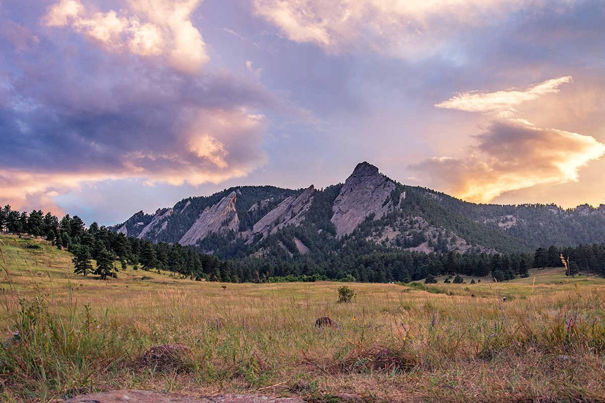
Flatirons Vista is a family-friendly destination with excellent views, serving as the sister-mesa to Marshall Mesa. The two can be connected via a tunnel under Highway 93 at Marshall Mesa or the road crossing between the Greenbelt Plateau Trailhead and Flatirons Vista. There are various loop options, including the 1.5-mile Flatirons Vista-North Trail to the wooded Dowdy Draw Trail, which features switchbacks with impressive views of Boulder to the north. Hike back up and loop through the forested Flatirons Vista-South Trail for a one- or two-hour walk in the woods and over the plains.
9. Walker Ranch
Distance: 7.9 miles round trip
Time: 4 - 4.5 hours
Elevation Gain: 1,610 feet
Difficulty: Moderate
Parking: There’s a rather large parking area at the Walker Ranch Loop trailhead, but this is a popular destination for many people so expect it to be full.
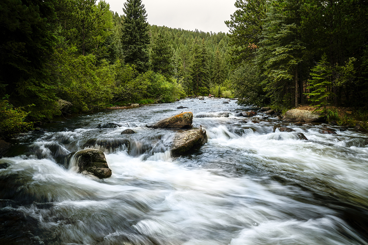
Walker Ranch’s full loop starts near the highest point of the ranch and descends roughly 600 feet to South Boulder Creek, where the rushing water can be particularly powerful in the spring. The trail passes through meadows and forests, eventually reaching a rocky outcrop with a steep, sustained staircase accessing the second half of the loop. On hot summer days, it’s better to descend to the right (counterclockwise) to avoid hiking on the sunny, exposed hillside. Be cautious of afternoon lightning storms in the summer and autumn, as the start and finish of the loop are fairly exposed.
10. Betasso Preserve
Distance: 3.3 miles for Canyon Loop, 6 miles with Benjamin Loop
Time: 1.5 - 2 hours
Elevation Gain: 600 feet
Difficulty: Moderate
Parking: There are three parking lots with a total of 44 spots where you’ll have access to the multiple trails in the area.
Betasso Preserve is a popular mountain biking destination, but on Saturdays and Wednesdays it’s closed to bikes—so if you prefer to hike without getting buzzed by hard-charging riders, aim to go on one of those days. The Canyon Loop Trail explores a portion of the old Betasso Ranch, with open meadows, shady pine forests, and small creeks running through the property. Hikers who want a longer day can tack on the 3-mile Benjamin Loop (and the 0.75-mile connector, one-way, between the two) to explore more deep forests, dotted with the occasional open view. Many species of wildlife call this area home, including fox, black bear, coyote, and skunk. Dogs are welcome but must be on leash at all times.
What to Bring on Your Boulder Hikes
Boulder's trails are a mix of scenic beauty and rugged terrain, so preparation is key. With trails that wind through rocky ascents, dense forests, and open meadows, packing the right gear will make your hike that much better. The weather can be unpredictable, especially as you climb higher, so dressing in layers is a must! These are a few essentials you should bring on your Boulder adventures:
- Trekking Poles: A few of the trails mentioned above have super steep and rocky sections. Trekking poles can really save your knees along these routes and many other trails all around Colorado. They offer extra stability and reduce the strain on your legs, making those tough climbs more manageable.
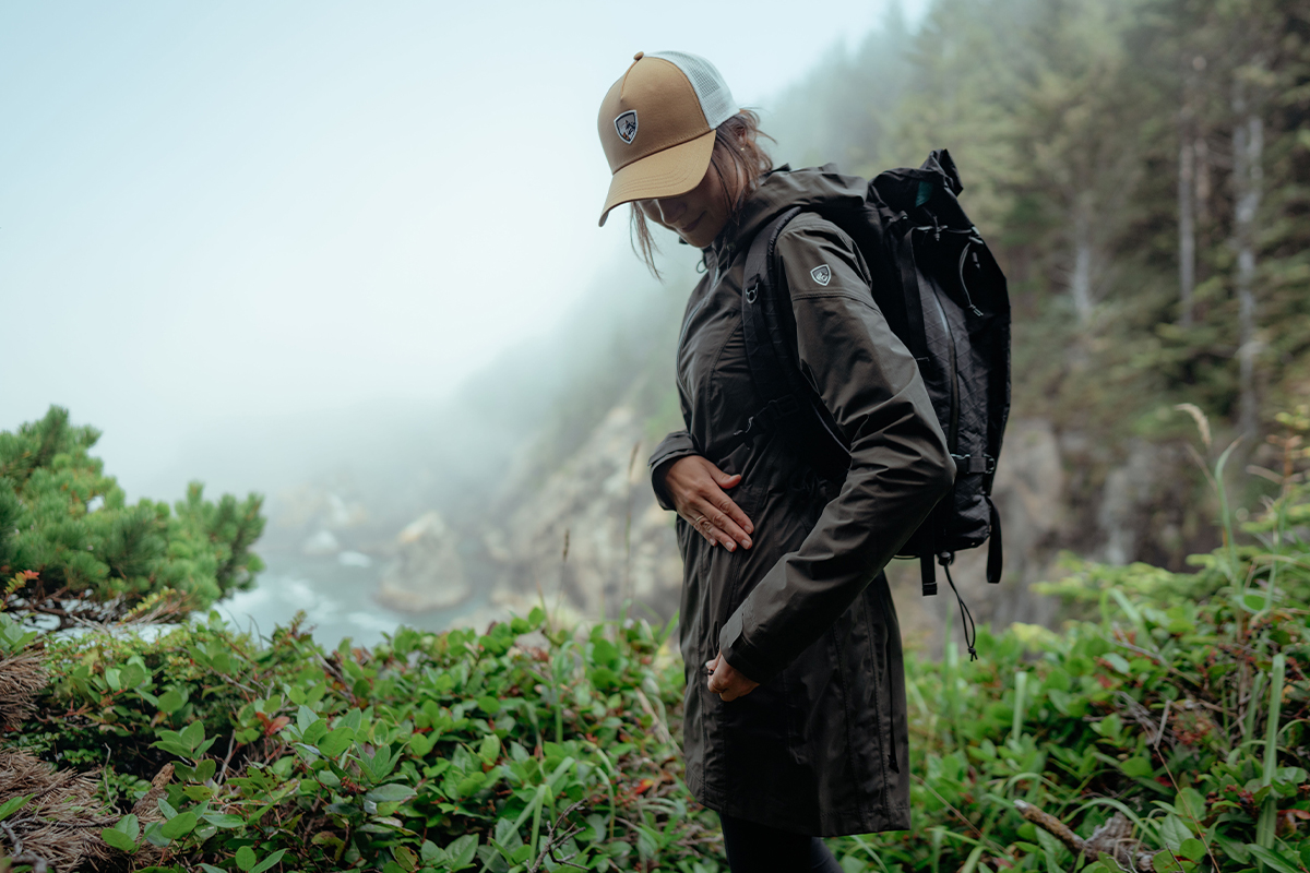
- Clothing: The weather in Boulder can be quite the chameleon, changing quickly as you gain elevation. In the summer, start with a moisture-wicking base layer like one of the KÜHL men’s long sleeve shirts or women’s long sleeve shirts to stay cool and a hat or cap for some sun protection. For the cooler months, bring along a down jacket from the men’s jackets or women's rain jackets to keep warm during those chilly hikes.
- Map & Compass: You can always download maps on popular apps like AllTrails, but bringing a physical map with you alongside a compass is one of those things that’s indispensable, especially when you plan to be gone for more than a few hours.
Other items you’ll want to consider bringing while on the trails include a headlamp, bear spray, plenty of water with snacks, and a first-aid kit. See our first-aid checklist.
Conclusion
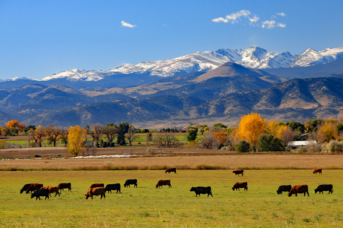
With over 155 miles of hiking trails, Boulder, Colorado, truly is a hiker's paradise. It offers an exceptional range of hiking experiences that cater to all skill levels and preferences. Whether you seek a challenging trek like Bear Peak or a leisurely stroll through the Flatirons Vista, the diverse terrain and rich ecosystems ensure that every outdoor enthusiast can find a trail that resonates with them. So lace up your hiking boots, grab your gear, and embark on an adventure through the remarkable trails of Boulder. Happy trails!
Featured image by: Rosemary.


